
We are delighted to host the following keynote speakers at ML4EO 2026.
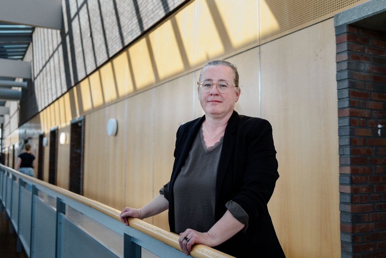
Kirsten De Beurs
Wageningen University & Research, Netherlands
Kirsten de Beurs is Professor of Environmental Remote Sensing at Wageningen University & Research. Her research uses satellite Earth observation and machine learning to investigate vegetation dynamics, land surface phenology, and ecosystem responses to climate variability. She integrates advanced time-series analysis with multi-sensor satellite data to monitor environmental change at large spatial scales. Her work bridges methodological innovation and real-world environmental monitoring, providing valuable insights for researchers, policymakers, and practitioners working at the intersection of AI and Earth observation.
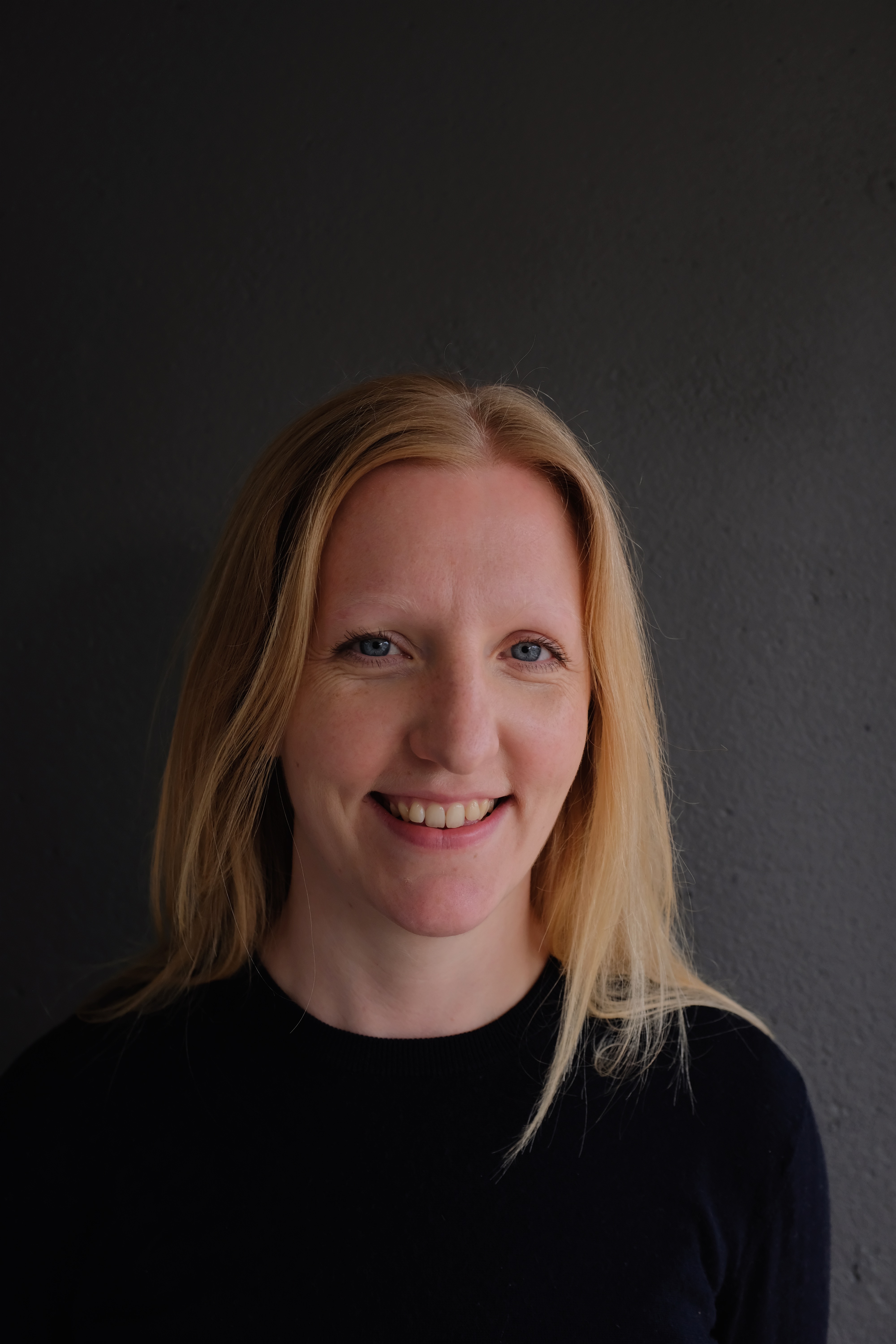
Emily Lines
University of Cambridge, UK
Dr Emily R. Lines is a computational forest ecologist with interests in remote sensing and data science. She an Associate Professor and a UKRI Future Leaders Fellow in the Department of Geography, University of Cambridge, and is a former a Turing Fellow at The Alan Turing Institute. Dr Lines leads a research group focused on monitoring and understanding the impacts of climate change and human activities on forest structure, function and biodiversity globally. Her group collects and uses remote sensing data from the ground, air and satellites, working to develop new methods for monitoring and analysis, and to integrate remote sensing data with traditional ecological and biological data and knowledge. More info at: https://www.linesresearchgroup.com/
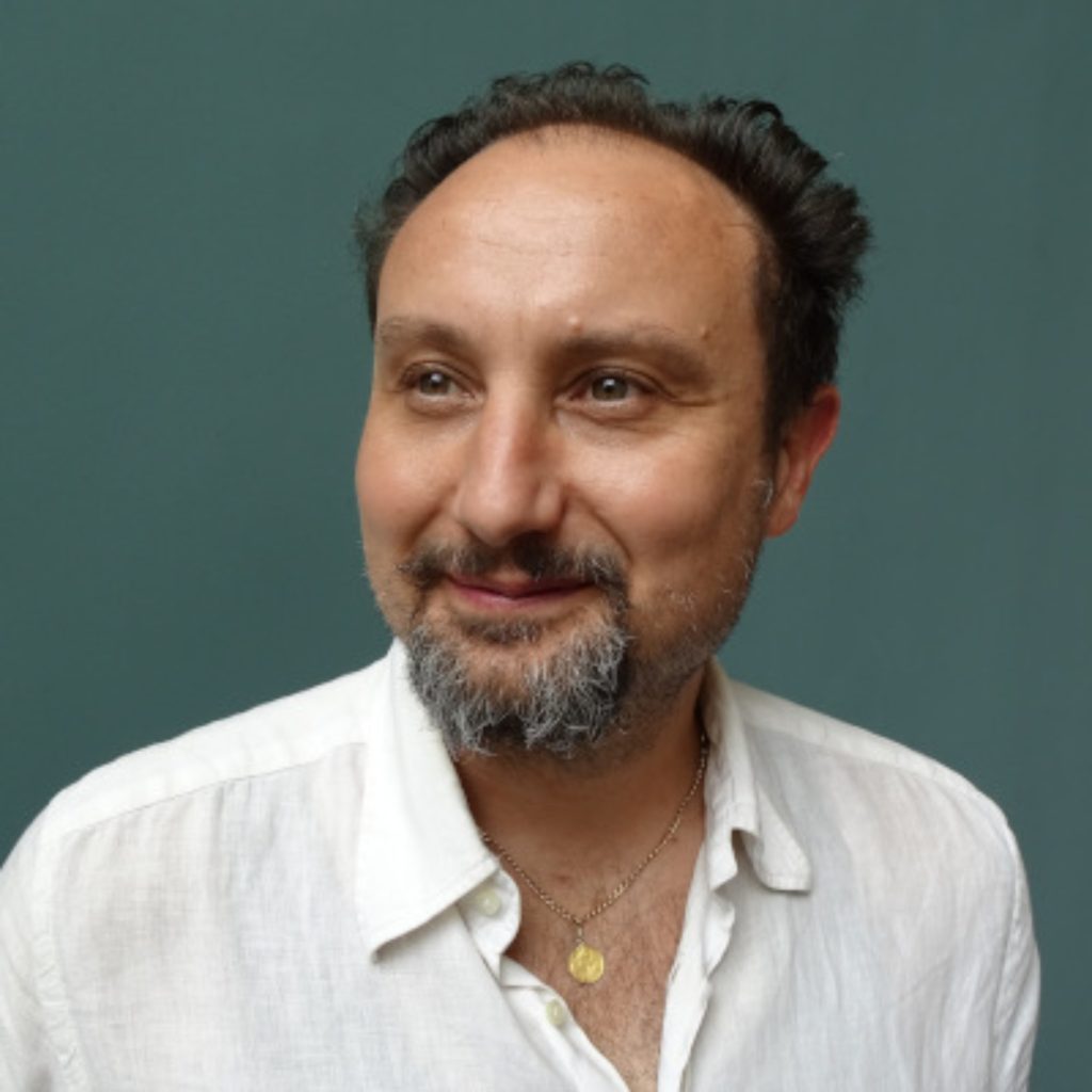
Tomislav Hengl
Co-founder / Director at OpenGeoHub foundation, Co-founder EnvirometriX Ltd.
Tomislav Hengl is Co-founder and Director of the OpenGeoHub Foundation, Co-founder of EnvirometriX Ltd., and Project coordinator of the Open-Earth-Monitor (https://earthmonitor.org/) Horizon project, where he advances open geospatial science and environmental data innovation. His work focuses on integrating machine learning, geostatistics, and Earth observation data to produce high-resolution environmental and soil information at global scales. He is widely recognised for developing open data infrastructures and analytical frameworks that support reproducible environmental modelling. His work highlights how open science and AI-driven geospatial analytics can accelerate environmental monitoring and decision-making.
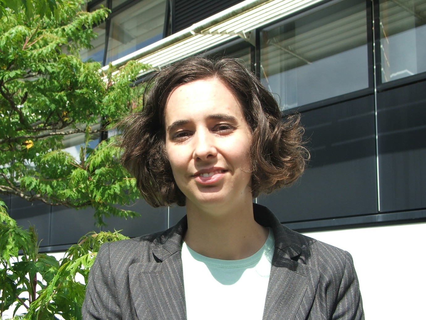
Sam Lavendar
Managing Director of Pixalytics
Dr Samantha Lavender is Managing Director of Pixalytics, an Earth observation consultancy focused on translating scientific research into real-world applications. With more than 30 years of experience in remote sensing, she specialises in using satellite data, machine learning, and geospatial analytics to address environmental challenges, including water quality, marine ecosystems, and land monitoring. Dr Lavender has worked with organisations such as ESA and NASA and is widely recognised for bridging research, industry, and public engagement. Her work demonstrates how advanced Earth observation technologies can support innovation, commercial solutions, and sustainable environmental management.
Jakub Nowosad
Associate Professor, Adam Mickiewicz University, Poland
Jakub Nowosad is a computational geographer specialising in geocomputation, spatial machine learning, and environmental analytics. He is an Associate Professor at Adam Mickiewicz University and a Visiting Scientist at the University of Münster. His research develops innovative spatial analysis methods to better understand environmental and ecological processes. He is co-author of the widely adopted textbooks Geocomputation with R and Geocomputation with Python, and actively contributes to open-source geospatial software, helping advance reproducible and scalable Earth observation research.
