The Machine Learning for Earth Observation (ML4EO) Conference 2026 brought together leading researchers, practitioners, and students for three days of inspiring keynotes, hands-on workshops, and vibrant discussions at the University of Exeter. Participants left with new ideas, collaborations, and connections.
Keynotes
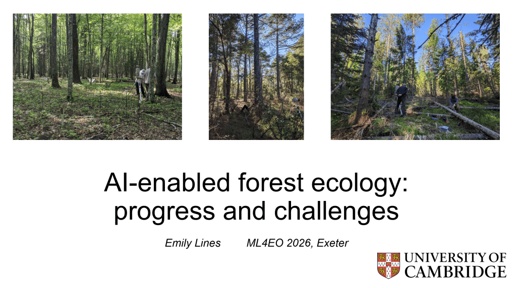
AI-enabled forest ecology: progress and challenges
Dr Emily Lines
University of Cambridge, UK

Liar Liar: Rethinking Validation for Spatial Machine Learning
Dr Jakub Nowosad
Adam Mickiewicz University, Poland


Open EO data revolution: the role of open source development communities in the time of agentic AI and Claude Mythos getting house arrest
Tomislav Hengl
OpenGeoHub Foundation & EnvirometriX Ltd, Netherlands
Enabling data-driven applications with EO-observations
Lauren Biermann
EUMETSAT, Germany
Remote Sensing in Transition: What Talent Do We Actually Need?
Kirsten de Beurs
Wageningen University & Research, Netherlands
Gaining insights using AI: where physics and biology meet data science
Sam Lavender
Pixalytics, UK
Oral Presentations
Mapping England’s Peatlands with Machine Learning: Methods, Outputs and Future Directions
- Oliver Gutteridge (NCEA)
Estimating Population in Sub-Saharan Africa Using Graph Neural Networks and Earth Observation Data
- Seán Ó Héir (University of Edinburgh), Gary Watmough (University of Edinburgh), Sohan Seth (University of Edinburgh)
Developing a Multimodal AI Framework for Wetlands Mapping with Multi-Sensor Earth Observation Data
- Khunsa Fatima (University of Leicester), Robert Parker (University of Leicester), David Moffat (NEODAAS), Chandana Pantula (University of Leicester), Cristina Ruiz Villena (University of Leicester), Jeremy Emmett (University of Leicester)
Forest-Chat: Adapting Vision-Language Agents for Interactive Forest Change Analysis
- James Brock (University of Bristol), Ce Zhang (University of Bristol), Nantheera Anantrasirichai (University of Bristol)
Domain Knowledge- and Large Model-Driven Remote Sensing-Based Intelligent Lithology Interpretation
- Wei Han (China University of Geosciences)
Better Baselines: Foundation Model Embeddings for Credible Conservation Counterfactuals
- Hugh Graham (belian.earth), Christopher Philipson (belian.earth)
Soil Type Classification across Europe: Embeddings vs Environmental Covariates
- Mustafa Serkan Isik (OpenGeoHub)
GBNet v0.2: Ordnance Survey’s Next Iteration of a Geo-Foundation Model for Great Britain
- Harry Baker (Ordnance Survey)
Evaluating TerraMind for Conflict Damage Mapping Using Sentinel-2 Imagery
- Clara-Gabriela Clipea (Universität München), Dr. Daniel Racek (Universität München)
Benchmarking Earth Observation Embeddings for Large Scale Aboveground Biomass Density Mapping
- Yu-Feng Ho (Utrecht University & OpenGeoHub), Leandro Parente, Serkan Isik, Derek Karssenberg, Madlene Nussbaum, Tomislav Hengl
Detecting old-growth forests with geospatial foundation model embeddings and spatial validation
- Thomas Ratsakatika (University of Cambridge), Srinivasan Keshav (University of Cambridge), Mihai Zotta (Fundația Conservation Carpathia), Emily Lines (University of Cambridge
FLORO: Flexible Multimodal Foundation Learning for Heterogeneous Earth Observation and Environmental Monitoring
- Jorge Rodriguez (King Abdullah University of Science and Technology), Victor Angulo Morales, Areej Alwahas, Mariana Elías Lara, Fida Mohammad Thoker, Kasper Johansen, Bernard Ghanem, Fernando T. Maestre, Matthew F. McCabe
Generalisation of geospatial foundation models for wildfire burn scar detection in the United Kingdom
- Remy Vandaele (University of Exeter), Edward Pope, Geoffrey Dawson, Anne Jones (IBM), David Moffat (NEODAAS), Hywel Williams (University of Exeter), Claire Belcher, Chunbo Luo (University of Exeter)
Quantifying walrus aggregations in Sentinel-2 satellite imagery using sub-pixel spectral unmixing
- Ellie Bowler (British Antarctic Survey), Hannah Cubaynes (British Antarctic Survey), Peter Fretwell (British Antarctic Survey)
Elucidating Urban Geomorphological Drivers of Heat Islands Using a Geographically Weighted Random Forest Framework
- Orhun Aydin (ADAPT-STL)
Multi-scale machine learning to improve detection of invasive Neltuma by integrating UAV and satellite Earth observation data
- Glenn Slade (University of Exeter), Andy Cunliffe (University of Exeter)
Multi-Band Geomorphic Feature Design for Landslide Detection Using Mask R-CNN
- Joshua Williams (GEUS and Carlsberg Foundation), Marie Winther, Kristian Svennevig
From Daily to Monthly Dust Outlooks: Early Results from a Lightweight CNN
- Trish Nowak (University of Exeter), Chunbo Luo (University of Exeter)
Old-growth forests detection using multimodal deep learning from remote sensing data
- Emilie Tardieu (Université de Toulouse), Yousra Hamrouni, Arnaud Le Bris, David Sheeren
Scaling Connectivity Conservation Planning with Deep Reinforcement Learning
- Kato Vanpoucke (Research Institute Nature & Forest), Pieter Wytynck
Natural England’s Automated Wildlife Monitoring with Drone Imagery and Deep Learning
- Gabriella Fasoli (Natural England), Nick Tomline, Jess Payne, Bob Ashington
The effect of spatial grain and crown size on machine learning for mapping baobab trees in the savannas of Southern Africa.
- Chafika Phiri (University of Exeter), Andrew Cunliffe, Hugh Graham, Sarah Venter, Dawn Cory-Toussaint, Dave Hodgson
Panel
Panel Discussion: The role of ML4EO in Biodiversity Net Gain
- Brianna Pickstone (Co-chair) (University of Exeter)
- Andy Cunliffe (Co-chair) (University of Exeter)
- Donna Lyndsay (True Position Ltd & Lyndsay Consulting & Space4Climate)
- Dan Bloomfield (University of Exeter)
- Matt Buckler (RSK Wilding)
- David Ferguson (EDF Energy)
- Dan Carpenter (Origin Enterprises)
Panel Discussion: Valuing Reproducibility in ML4EO
- Andy Cunliffe (Chair) (University of Exeter)
- Mark Kelson (University of Exeter)
- Katie Murray (University of Exeter)
- Johan Wahlström (University of Exeter)
Workshops

Introduction to AI for EO Data – Theory
Hosted by NEODAAS

Introduction to the TESSERA Geospatial Foundation Mode: Hands-on Earth Intelligence with Embedding-as-Data
Hosted by Zhengpeng (Frang) Feng
University of Cambridge, Centre for Earth Observation

Collaborative Earth System Feature Labelling in EO Data for ML-Driven Object Detection
Hosted by EUMETSAT

Introduction to EO Foundation Models: Inference, Fine‑Tuning and Multimodality
Hosted by IBM

Where your models can be trusted: Evaluating spatial machine learning reliably
Hosted by Jakub Nowosad
PlotToSat Workshop
Hosted by Milto Miltiadou
Advanced Geospatial AI Workflows: TerraTorch Iterate and TerraKit
Hosted by IBM

Introduction to MLOps for Earth Observation
Hosted by Juan Ginzo

Advanced Geospatial AI Workflows: TerraTorch Iterate and TerraKit
Hosted by IBM

Introduction to AI for EO data – Practical
Hosted by IBM
Posters
- See flash talks on poster sessions here: Part 1 and Part 2
- PlotToSat for scalable Earth Observation time-series extraction on the cloud – Milto Miltiadou
- Telesto – A Visual Programming Tool for Exploring and Modelling Earth Observation Data – Niall McCarroll
- Aboveground Biomass Estimation in Peat Swamp Forests Using Planet NICFI Imagery and Airborne LiDAR – Deha Agus Umarhadi
- Evaluating GEDI for quantifying forest structure across a gradient of degradation in Amazonian rainforests – Emily Doyle
- Benchmarking Vision Transformers for Daily Sea Ice Forecasting through a standardised pipeline – Wei Quan
- Towards an automated AI-based method for liana mapping in tropical forests – Matthew Causon
- Downscaling Urban Built-Up Surface from 1 km to 10 m Using EO Embeddings and Binary Settlement Priors – Evgeny Noi
- Mapping of Multi-Year Crop Intensity in Gezira Using Machine Learning (2020–2025) – Chenxi Duan
- Attributing Woody Encroachment in Savannas Using Machine Learning–Calibrated Earth Observation and Process-Based Models – Alan Nare
- Vocabulary Lock-In in Open-Vocabulary Detectors: A Systematic Study for Cross-Taxonomy Disaster Building Damage Assessment – Zhipeng Liu
- Early Warning Signals of Tipping Points Using Deep Learning – Chris Boulton
- Enhancing Photovoltaic Panel Detection in Very High Resolution Satellite Imagery Through Synthetic Data Augmentation – Enes Hisam
- Towards Urban Tree Species Classification in the UK: An exploration of State of the Arts Machine Learning Algorithms and the Creation of a Novel Multimodal Species Classification Dataset. – Selorm Komla Darkey
- Spatiotemporal Methane Plume Forecasting from Sentinel-5P TROPOMI via a Physics-Informed Attention U-Net with Adaptive Advection Constraints and Monte Carlo Dropout Inference – Archit Rohatgi
- Lidar Waveform Reconstruction Using Multi-Source Remote Sensing Data for Improved Forest Structure and AGB Estimation – Benyamin Hosseiny
- From Space to Soil: Predicting Soil Microbial Community Composition Using AlphaEarth Embedding – Angela Harris
- Cloud-based big data analytics for monitoring invasive plants in groundwater-dependent ecosystems of Nuwejaars catchment, South Africa – Timothy Dube
- Understanding Changes in Tropical Wetlands with Remote Sensing, Machine Learning and Land Surface Modelling – Chandana Pantula
- EcoCAT Mapping Tool: Automated Global Spatio-Temporal Ecosystem Mapping – Daniel Le Corre
- Enabling environmental AI workflows through the NERC Environmental Data Service – Ag Stephens
- Which ecological fingerprints — spatial, spectral, or temporal — allow for the best forest disturbance classification? – Franziska Müller
- Multi Signal Remote Sensing Reveals Vegetation-Mediated Evapotranspiration Deficit Across Monsoon India – Bouchra Daddaoui
- Sat2Wind: Translating Infrared Satellite Imagery into Tropical Cyclone Wind Fields Using Pix2Pix Generative Adversarial Networks – Sarah Ollier
- A GeoAI Framework for Urban Building Height Mapping Using Spaceborne LiDAR, Multimodal Satellite Data, and Foundation Model Embeddings – Adeel Ahmad
- Destination Earth Data Lake Capabilities for AI/ML Developments: Bringing Data, Services and Infrastructure Together – Sina Montazeri
- REDNET-ML: A Multi-Sensor Machine Learning Pipeline for Harmful Algal Bloom Risk Detection Along the Omani Coast – Ameer Alhashemi
- Real-time topographical visualization and sediment transport analysis at river confluences using an ar-integrated depth sensing system – Bhagya Fernando
- A Hybrid Random Forest–Spectral Unmixing Framework for Object-Based Change Detection to Support Nature Recovery – Kieran McCloskey
- Understanding the drivers of wildfires using JULES model simulations and machine learning emulators – Limeng Zheng
- Enhancing Landslide Susceptibility Mapping with Earth Observation Derived Features and Machine Learning: A Case Study in West Java, Indonesia – Andrew Curnick
- Exploring Transferable Representations for Cross-City Pluvial Flood Prediction – Zhufeng Li
- Improved Dating of Landslides in Zimbabwe by Combining Satellite Multispectral and SAR Observations – Joanna Noyes
- Deep learning emulation of a high complexity marine biogeochemistry model – Jozef Skakala
- Reconstructing Gap-Free and Cloud-Free Monthly Landsat Data from 1997 to 2025 – Sajed Sarabandi
- UK-Wide Landslide Detection Using EGMS InSAR Data – Lewis Days
- Integrating Google Earth Engine and ARDL Modeling to Analyze Climate and Vegetation Effects on Honey Production in the United Kingdom – Muhammad Adeel
- Monitoring Permafrost Thaw and Ground Subsidence in Alaska Using InSAR Time-series and Machine Learning Techniques – Brendon Reilly
- Evolutionary Optimization Algorithm for Adaptive Livestock Grazing and Ranching Enterprise Management Using Virtual Fencing – Spencer Burkhart
- Complex interplay of Coastal Mangrove Degradation and Saltwater Stress in Indian Urban Coastal Cities: A Remote Sensing and Machine Learning Analysis – Syed Shariq Husain
- Contribution of space hydrology to the monitoring and management of water resources in the Niger River – Cheffou Mairounkoundoum Rachid
- Enhancing Accessibility to Earth Observation Data Using AI-Powered Chatbots: A Case Study with LIVING WALES DATACUBE – Oscar Hountondji
Our 2026 Sponsors